Balla Balla
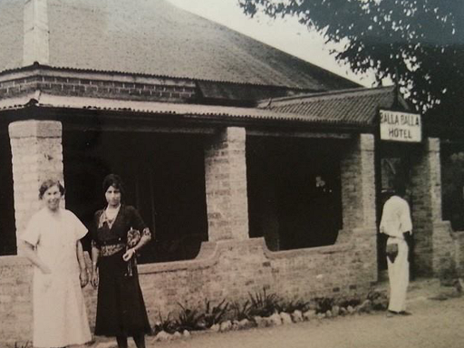
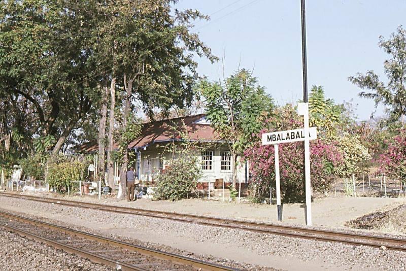
Balla Balla (Mbalabala)
Mbalabala (Balla Balla until 1982) is a village on the main Beitbridge
to Bulawayo road (at the junction with the Filabusi Road) in
Matabeleland, Zimbabwe. The name is derived from the Ndebele name for
the greater kudu (scientific name: Tragelaphus strepsiceros). It was
originally rendered Balla Balla by Europeans, which was altered to its
present name in 1982 by the Zimbabwean government in order to coincide
closer with the local pronunciation.
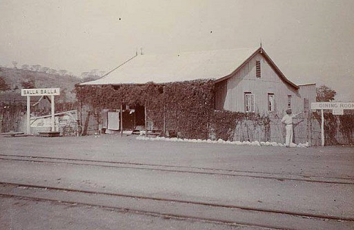
Balla Balla was originally known as Filabusi Siding which was
established on May 1, 1904, but its name changed in 1907, after a nearby
peak of that name. There is, however, some doubt as to whether the
original Filabusi Siding was located at the same spot as the present
Balla Balla. It is probable that the siding, prior to 1907, was located
somewhere between Balla Balla and Stanmore Siding, and it is possible
that the two places existed simultaneously for a short time pending the
establishment of the new station at Balla Balla.
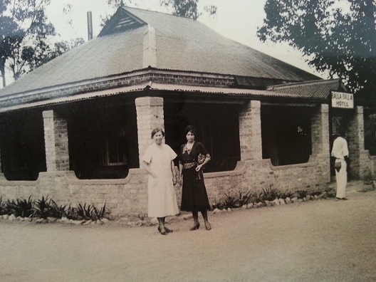
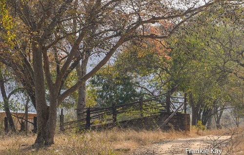
The village has a railway station on the Beitbridge/Bulawayo Railway and
is the railhead for the mining area of Filabusi. The village also hosts
a large army barracks, which is the Zimbabwe School of Infantry,
formerly Shaw Barracks for the Rhodesian African Rifles from 1976 to
1980. The site was previously St. Stephen's College from February 1959
to December 1975.
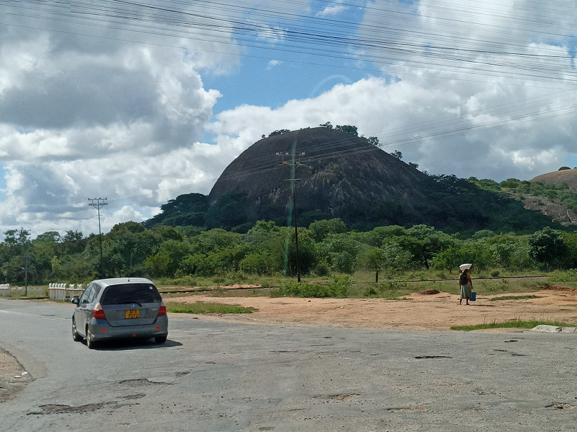
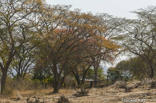
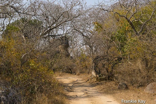
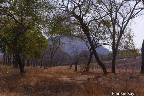
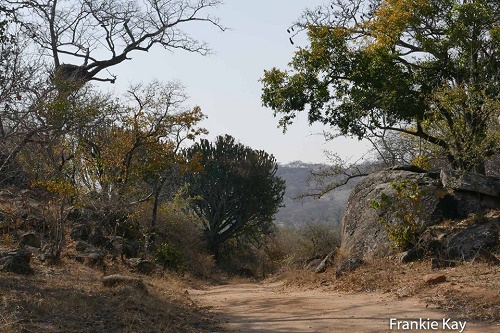
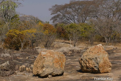
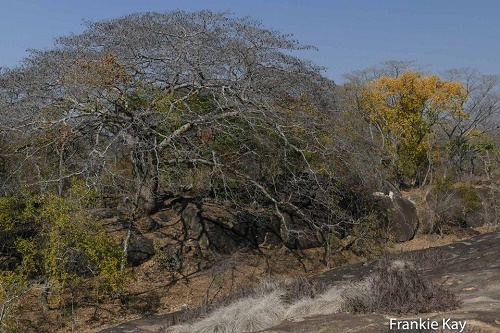
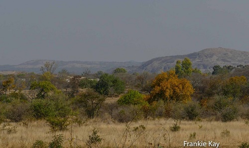
Mbalabala is situated on high ground, which forms a ridge between the
Mzingwane and Mbilambowe watersheds, in an important cattle ranching
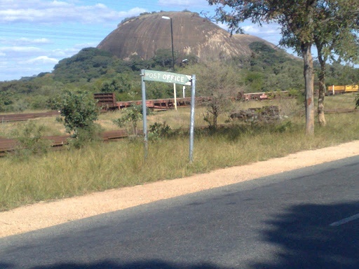
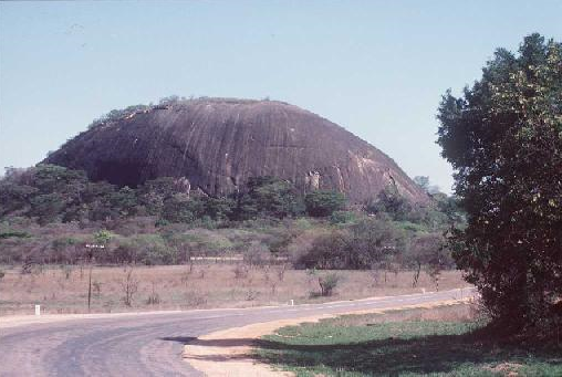
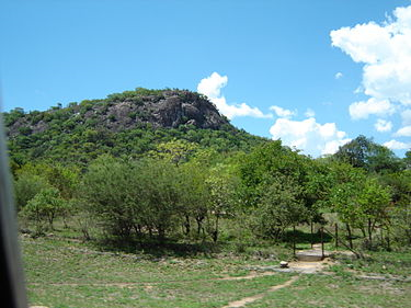
area with a history of gold prospecting. There is a prominent landmark
nearby in the form of a granite hill (kopje) known as Balloon Kop or
"Baldy" - due to its bare rock.
The village is situated on high ground, which forms a ridge between the
Umzingwani and Mbilambowe watersheds. A police station was in existence
until 1904, and police trooper, J. T. Woods, in addition to his police
duties, acted as Government forwarding agent and Postmaster for the
district.
A road was constructed from Belingwe to Balla Balla in 1906 via Hibernia
Mine with a view to affording a more direct communication between
Belingwe and the railway line. There was a coaching service that carried
passengers and mails between Balla Balla and Belingwe which took 15
hours between these two centres - a distance of 116 km, but with
development of better roads and private transport, the coaches were
replaced by motorised vehicles.